Sea
Surf, currents and tides change quickly at the sea.
- Follow the beach flags and warnings.
- Stay out of rough surf and strong currents.
- Know the tide times.
An illustrated tile in place of a photo — we don't have a suitably licensed photo of this place yet.
BeachBarguna district· Barishal Division
লালদিয়া সমুদ্র সৈকত
Laldia Sea Beach is located in Patharghata Upazila of Barguna District, Bangladesh, at the confluence of the Baleshwar River and the Bishkhali River, beside the Laldia Forest. The beach is being developed following the model of Cox's Bazar.
Summary: Wikipedia · CC BY-SA 4.0
Entry Fee
Standard / Free
Permit / Pass
Open Entry
Accessibility
Normal Access
Verified intelligence and latest changes for Laldia Beach.
No recent updates recorded yet.
Real atmosphere, sights and recent reels from this tourist destination (Laldia Beach)

Cholo Food

KM's wall

Bike Rider STK

Away Traveller BD
Doable year-round, but keep the monsoon and the weather in mind.
Surf, currents and tides change quickly at the sea.
General guidance; check the weather and local conditions yourself before you go.
Position: 21.9621, 89.9823
This map is drawn by us: no outside map script is loaded. The links open an outside map when you tap them.
There are no separate local numbers for this district here. In an emergency, call 999.
Numbers can change. Re-check before you travel.
Know a verified contact? Suggest itIf the photo here is not good enough, send one you took. We review it before it appears on the site, with your credit under it.
Send a photo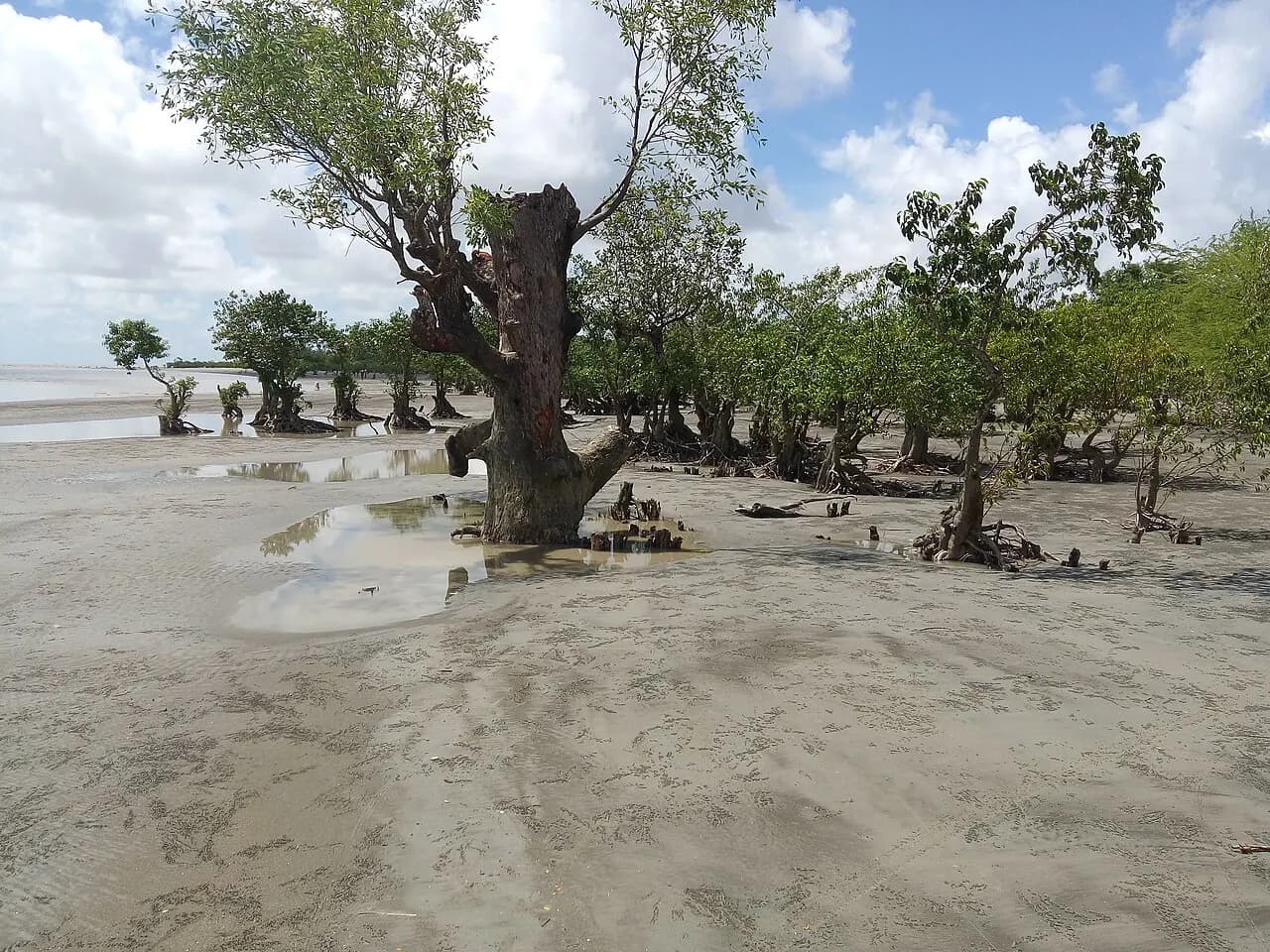
Kuakata National Park is IUCN Category II national park and nature reserve in Bangladesh. The park is located at Kalapara Upazila under Patuakhali District.
16 km away · Approximate
Barguna, Bangladesh
9.1 km away
Source: OpenStreetMap
Barguna, Bangladesh
14.9 km away
Source: OpenStreetMap
পাথরঘাটা উপজেলা স্বাস্থ্য কেন্দ্র
Barguna, Bangladesh
8 km away
Source: OpenStreetMap
আইয়ুব আলী
Barguna, Bangladesh
13.8 km away
Mo-Su 08:30-12:00,18:00-23:30; Fr-Sa 08:00-11:00; PH open
Source: OpenStreetMap
Distances are in a straight line. Data from OpenStreetMap; check by phone or on the map before you go.
District information and sources
Spotted a mistake? Tell usIf something looks wrong or out of date, tell us and we'll check and fix it.