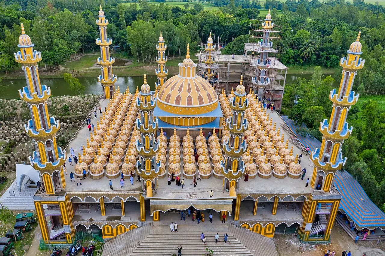
Road
Cross bridges and busy roads with care.
- Choose licensed drivers and roadworthy vehicles.
- Wear a seat belt or helmet.
- Don't ride with a careless or tired driver.
Photo: Rohul Amin Khan · CC BY-SA 4.0 · Source
BridgeTangail district· Dhaka Division
যমুনা সেতু
Jamuna Multipurpose Bridge, is a bridge built over the river Jamuna in Bangladesh. The bridge opened to traffic in June 1998.
Summary: Wikipedia · CC BY-SA 4.0
Entry Fee
Standard / Free
Permit / Pass
Open Entry
Accessibility
Normal Access
Verified intelligence and latest changes for Jamuna Bridge.
No recent updates recorded yet.
Real atmosphere, sights and recent reels from this tourist destination (Jamuna Bridge)

Mubashshir Alam

Sayem TheExplorer

Dream Tours & Travels

Tangail Shareez
Doable year-round, but keep the monsoon and the weather in mind.
Cross bridges and busy roads with care.
General guidance; check the weather and local conditions yourself before you go.
Position: 24.3991, 89.7853
This map is drawn by us: no outside map script is loaded. The links open an outside map when you tap them.
There are no separate local numbers for this district here. In an emergency, call 999.
Numbers can change. Re-check before you travel.
Know a verified contact? Suggest itIf the photo here is not good enough, send one you took. We review it before it appears on the site, with your credit under it.
Send a photo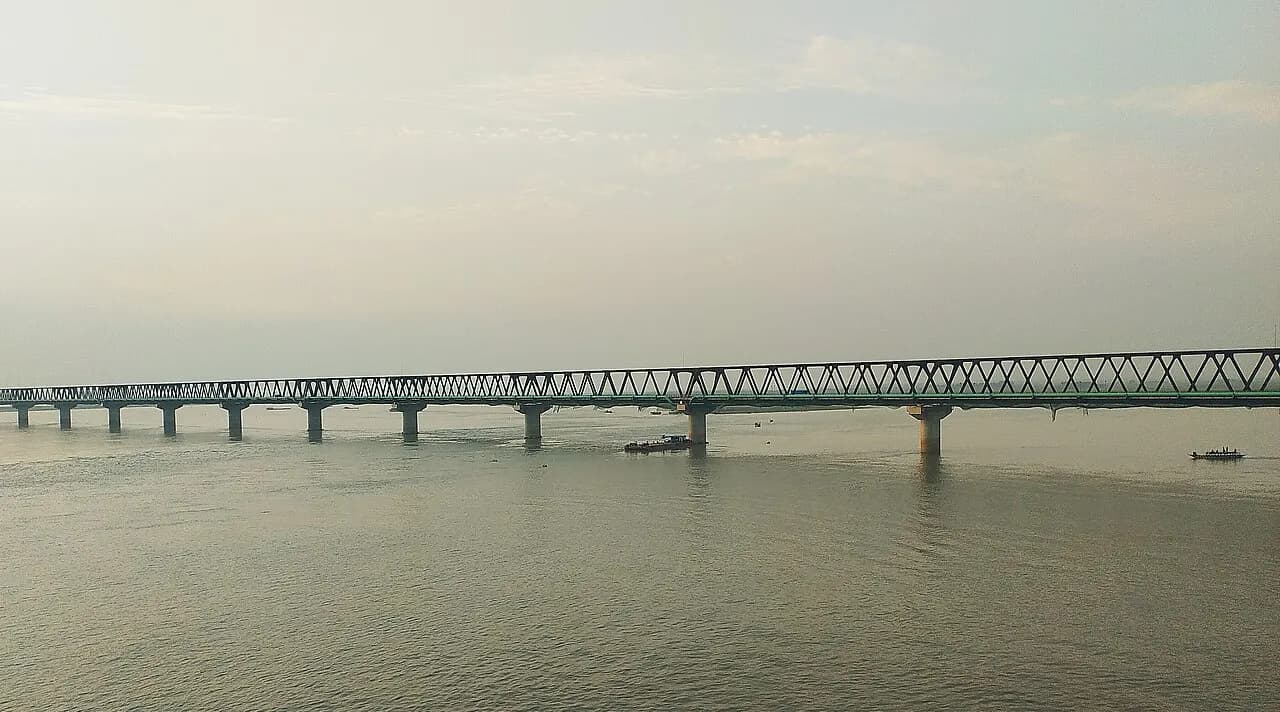
The Jamuna Railway Bridge is a dual-gauge, double-track railway bridge on Jamuna River in Bangladesh. This bridge connects Sirajganj and Tangail by railway network.
2 km away · Approximate
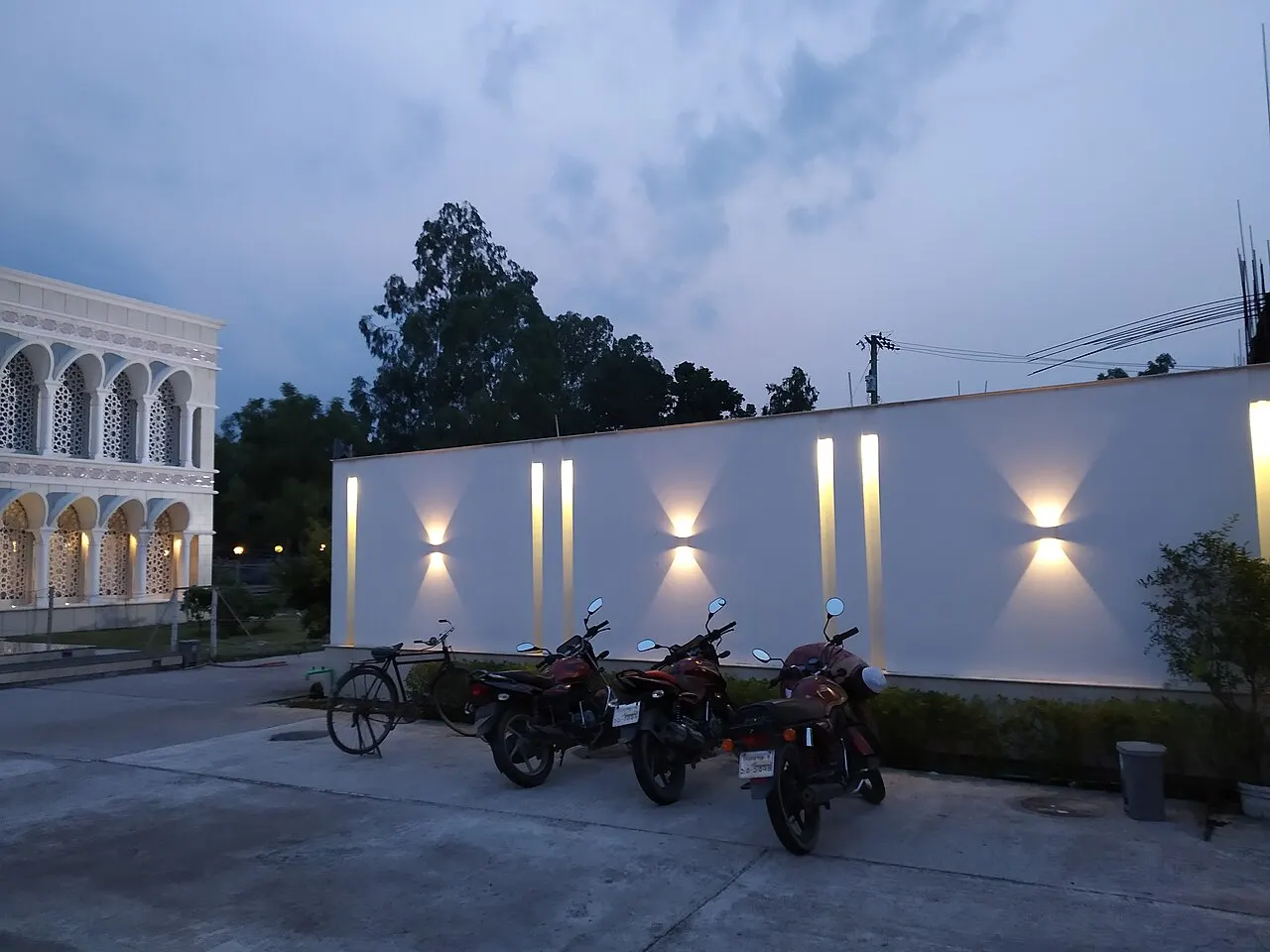
The Al-Aman Bahela Khatun Mosque is a mosque located at Belkuchi, 20 kilometres (12 mi) southeast of Sirajganj in the Rajshahi Division of Bangladesh.
15 km away · Approximate
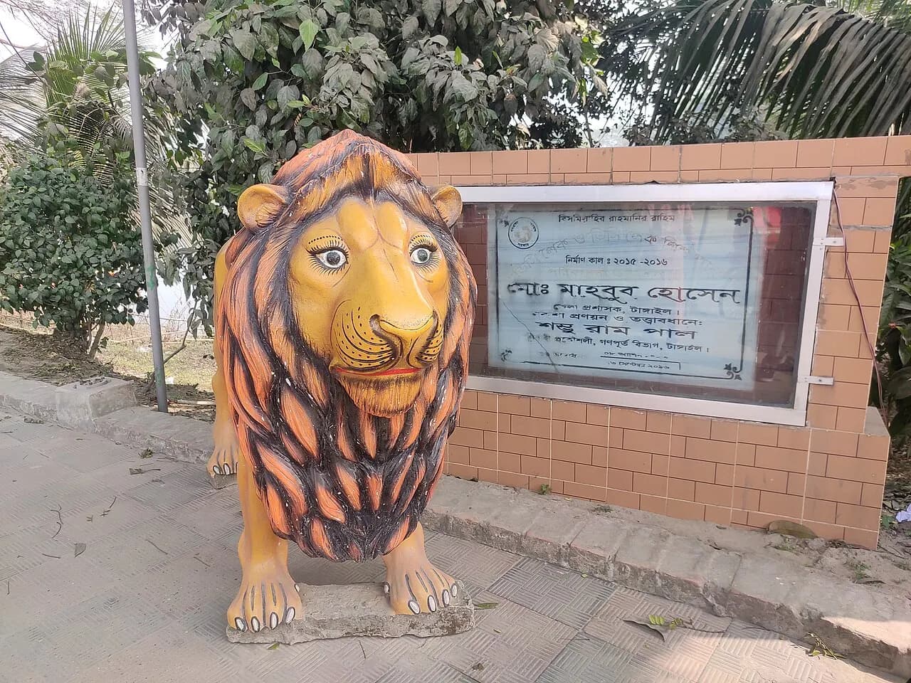
Park in Tangail district.
20 km away · Approximate
Sweet
Soft sandesh from Jamurki in Mirzapur, also on the GI list. Many pick some up on the Dhaka–Tangail road.
Fruit
Juicy pineapples grown in Madhupur's red soil, with GI status. Markets pile them up at the start of the monsoon.
Sweet
The reddish-brown chomchom named after Porabari in Tangail Sadar, firm outside and juicy within.
Sweet
Tangail's Porabari is famous for its chomchom, sent all over the country.
Sirajganj, Bangladesh
10.1 km away
Source: OpenStreetMap
Sirajganj, Bangladesh
10.5 km away
Source: OpenStreetMap
S.S. Road, Sirajganj
10.6 km away
Source: OpenStreetMap
লাবলু তালুকদার হোটেল
Sirajganj, Bangladesh
9.4 km away
Source: OpenStreetMap
Burger Coffee Shop Chicken Sandwich Fish And Chips Fish Thai Juice Hot Dog Cake Salad Dessert · বনলতা কফিশপ অ্যান্ড রেস্টুরেন্ট
Source: OpenStreetMap
Regional Coffee Shop Indian Asian
Source: OpenStreetMap
Sirajganj, Bangladesh
9.3 km away
Source: OpenStreetMap
Sirajganj, Bangladesh
9.4 km away
Source: OpenStreetMap
Sirajganj, Bangladesh
9.5 km away
Source: OpenStreetMap
Sirajganj, Bangladesh
4.8 km away
Source: OpenStreetMap
Sirajganj, Bangladesh
9.5 km away
Source: OpenStreetMap
জনতা ব্যাংক
S.S. Road (Fariapattry), Sirajganj
10.5 km away
Source: OpenStreetMap
সায়দাবাদ রেল স্টেশন
Sirajganj
5.3 km away
Source: OpenStreetMap
Sirajganj, Bangladesh
9.5 km away
Source: OpenStreetMap
সিরাজগঞ্জ রায়পুর
Sirajganj, Bangladesh
9.6 km away
Source: OpenStreetMap
ACI Limited · স্বপ্ন
Source: OpenStreetMap
বড় বাজার
Sirajganj, Bangladesh
10.3 km away
Source: OpenStreetMap
পৌর নিউ মার্কেট
Sirajganj, Bangladesh
10.5 km away
Source: OpenStreetMap
Distances are in a straight line. Data from OpenStreetMap; check by phone or on the map before you go.
District information and sources
Spotted a mistake? Tell usIf something looks wrong or out of date, tell us and we'll check and fix it.