
Loading…
19 places
Mymensingh Division has 4 districts. Pick one to start exploring.
See on the map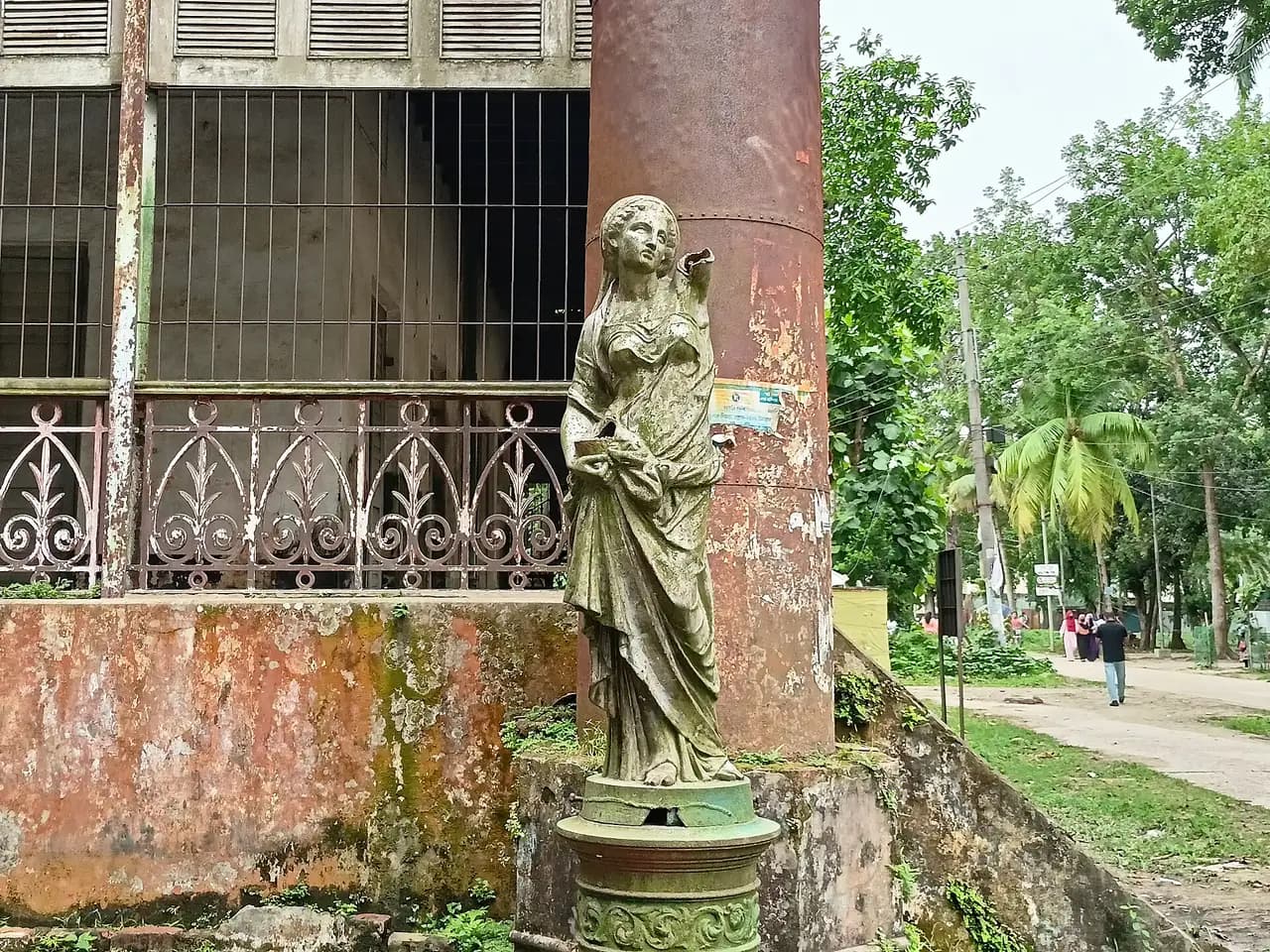
A late 19th-century house with iron-sheet walls, known locally as the 'iron house'. It now stands in the grounds of the Teachers' Training College and can be seen from outside.
A historic ghat on the Jamuna at Dewanganj, where rail passengers and freight once crossed the river by ferry. Its heyday is long gone, but it is a good place to see the vast Jamuna and char life up close.
One of the district's biggest haors, near Mohanganj. In the monsoon there is water as far as you can see, broken by island villages, and hardly any tourists.
A recreation area among hillocks and forest at the foot of the Garo Hills in Bakshiganj. A watchtower looks across to the hills over the border, and there are Garo villages nearby.
A hill standing above its surroundings at the foot of the Garo Hills in Sreebardi upazila, with a flat top that looks out over forest and villages. It is not landscaped like Gajni or Madhutila, and far less crowded.
The shrine of the Sufi saint Shah Sultan Rumi at Madanpur, south of Netrokona town, linked to the early history of Islam in the region.
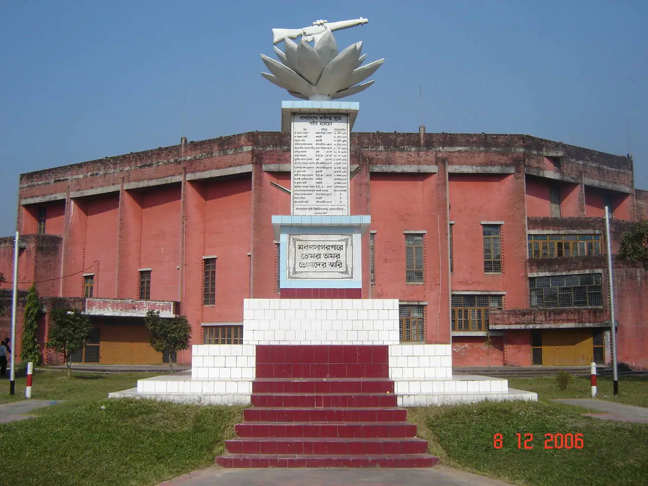
A large, tree-filled campus by the river, with a botanical garden holding many native and introduced species. Boats cross to the Brahmaputra chars beside the campus.
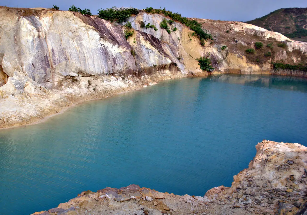
White, pink and yellowish hillocks at Bijoypur, Durgapur, left by China-clay mining, with pools of blue-green water in between. Strange and striking to look at, but it is a mining area.
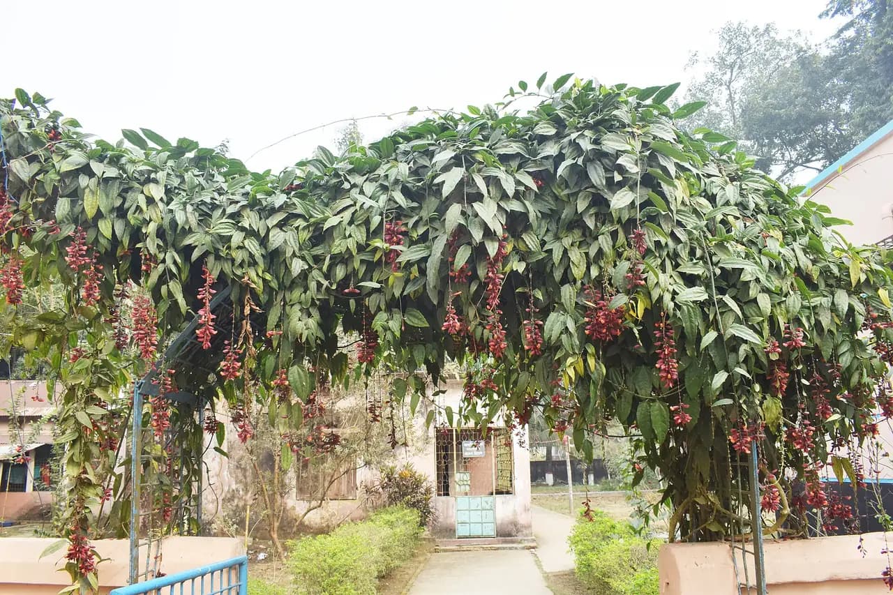
A government institution working on the culture of the Garo, Hajong and other communities of the area. Its small collection shows clothing, instruments and everyday objects.