
Road
Cross bridges and busy roads with care.
- Choose licensed drivers and roadworthy vehicles.
- Wear a seat belt or helmet.
- Don't ride with a careless or tired driver.
Photo: ShohagS · CC BY-SA 4.0 · Source
BridgeRangpur district· Rangpur Division
গংগাচড়া সেতু, রংপুর
Gangachara Bridge is located on the river Teesta on the Lalmonirhat-Rangpur highway in Gangachara Upazila of Rangpur District, Bangladesh. The construction work of the bridge lasted from 2007 to June 2012.
Summary: Wikipedia · CC BY-SA 4.0
Entry Fee
Standard / Free
Permit / Pass
Open Entry
Accessibility
Normal Access
Verified intelligence and latest changes for Gangachara Bridge, Rangpur.
No recent updates recorded yet.
Real atmosphere, sights and recent reels from this tourist destination (Gangachara Bridge, Rangpur)

Guy With A Backpack

Card&CraftTricks
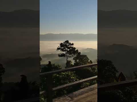
Card&CraftTricks

Footsteps 👣
Doable year-round, but keep the monsoon and the weather in mind.
Cross bridges and busy roads with care.
General guidance; check the weather and local conditions yourself before you go.
Position: 25.8688, 89.2552
This map is drawn by us: no outside map script is loaded. The links open an outside map when you tap them.
There are no separate local numbers for this district here. In an emergency, call 999.
Numbers can change. Re-check before you travel.
Know a verified contact? Suggest itIf the photo here is not good enough, send one you took. We review it before it appears on the site, with your credit under it.
Send a photo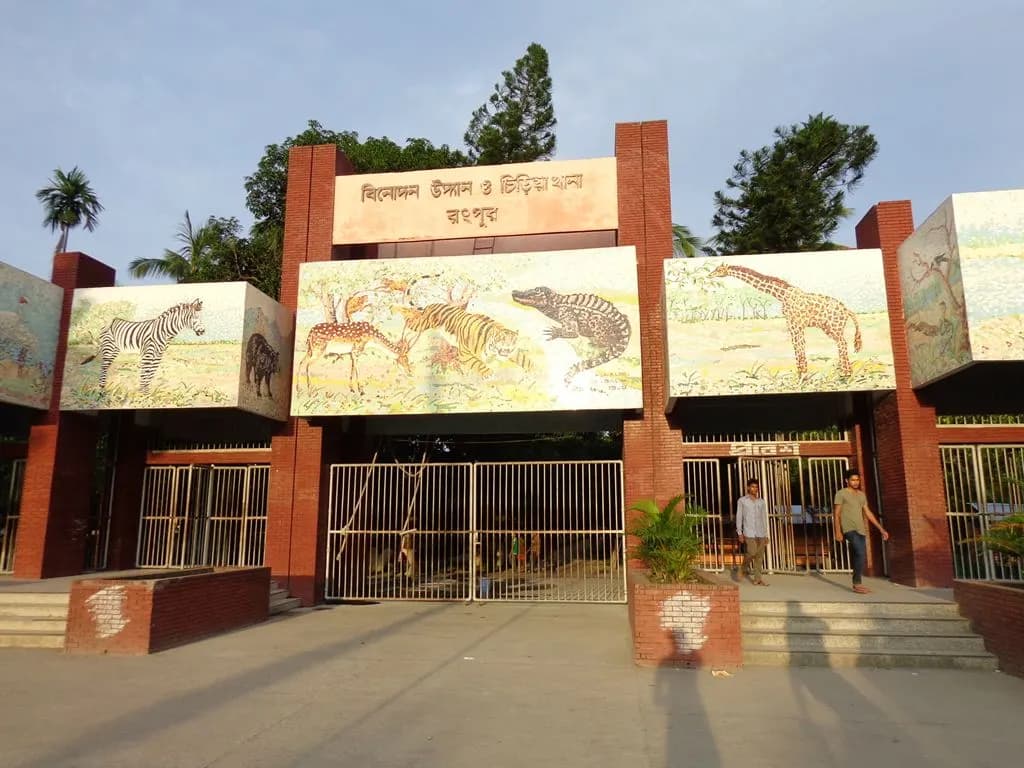
A city zoo.
13 km away · Approximate
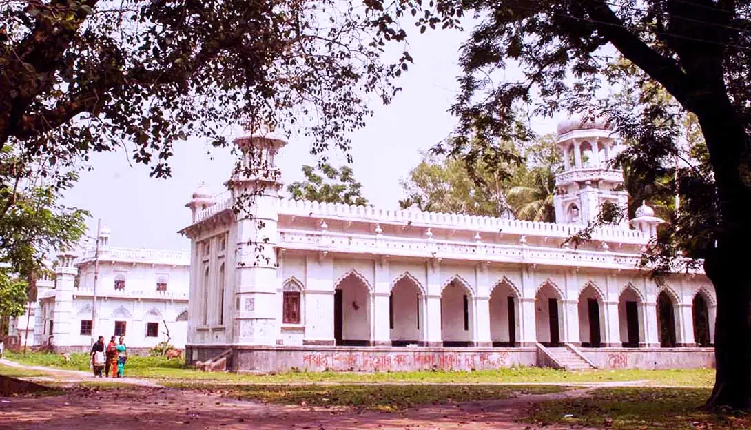
An old college in Rangpur city, a recognisable landmark for its colonial-era buildings and wide grounds. Pleasant to walk around.
14 km away · Approximate
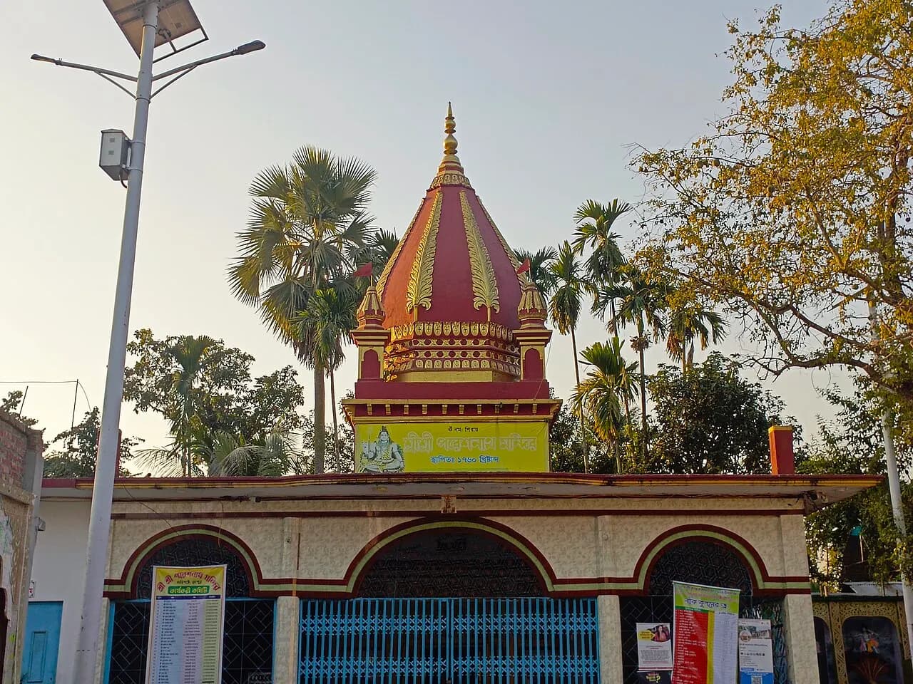
Temple in Rangpur district.
16 km away · Approximate
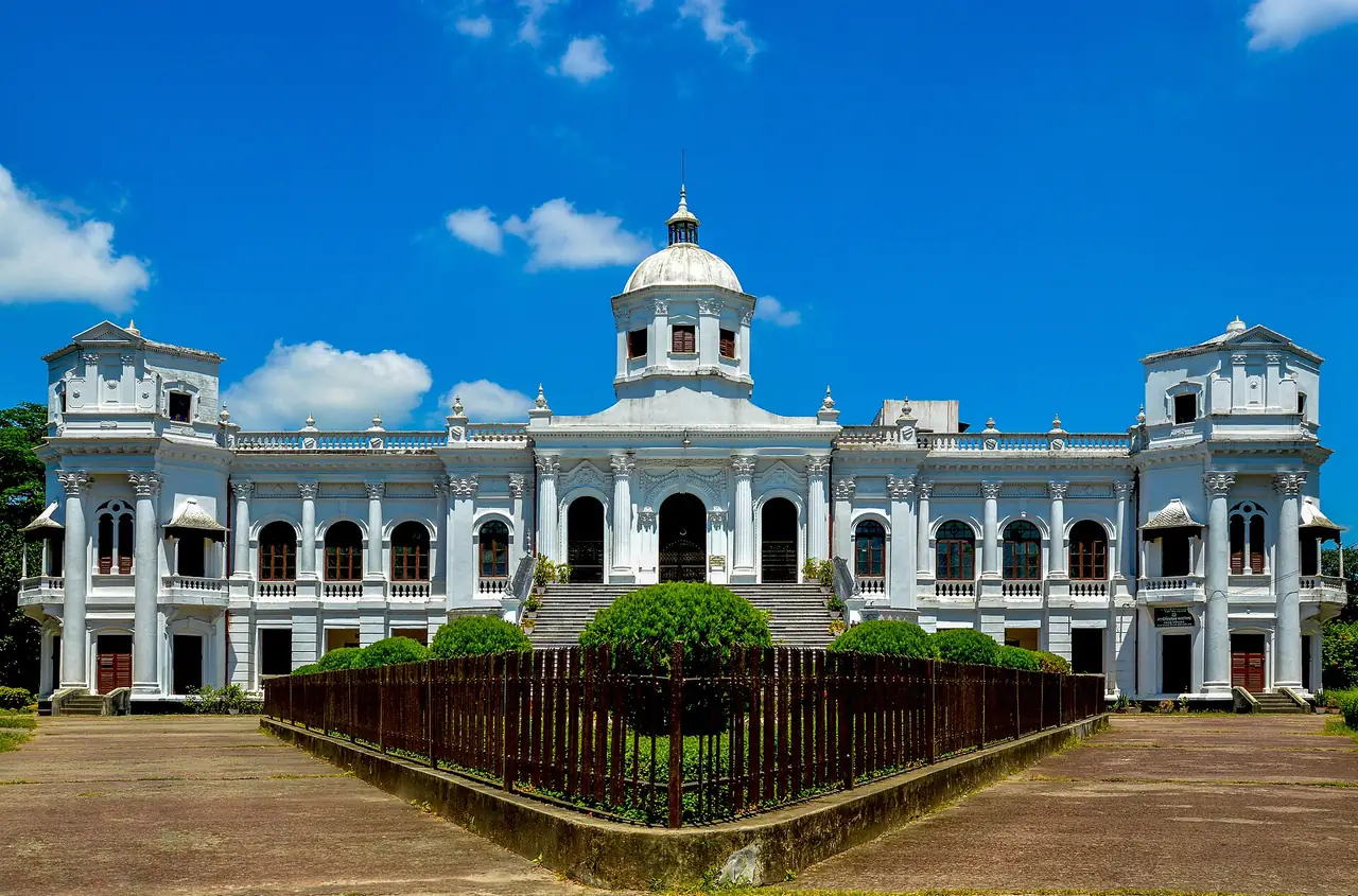
A palace built in the early 20th century by Maharaja Kumar Gopal Lal Roy, with a large central dome. The upper floor houses the Rangpur Museum, with terracotta pieces and old manuscripts.
16 km away · Approximate
Fruit
The Haribhanga mango variety from Mithapukur is known across the country; the season is June and July.
Fruit
Rangpur's Harivanga mango, sweet and fragrant; a registered Geographical Indication.
Rangpur, Bangladesh
8.8 km away
Source: OpenStreetMap
Medical Road, Rangpur
11.3 km away
Source: OpenStreetMap
Medical Road
11.3 km away
Source: OpenStreetMap
Rangpur, Bangladesh
10.4 km away
Source: OpenStreetMap
Rangpur, Bangladesh
10.6 km away
Source: OpenStreetMap
Rangpur, Bangladesh
10.9 km away
Source: OpenStreetMap
Rangpur, Bangladesh
11.8 km away
Source: OpenStreetMap
Rangpur, Bangladesh
11.8 km away
Source: OpenStreetMap
Rangpur, Bangladesh
11.8 km away
Source: OpenStreetMap
MD MORSHED AL MUZAHID MIM · মীম ফিলিং স্টেশন
Source: OpenStreetMap
Lalmonirhat, Bangladesh
7 km away
Source: OpenStreetMap
Lalmonirhat, Bangladesh
11.2 km away
Source: OpenStreetMap
Bangladesh Railway · কাকিনা রেল ষ্টেশন
Lalmonirhat, Bangladesh
9.8 km away
Source: OpenStreetMap
কালিগঞ্জ
Lalmonirhat, Bangladesh
12.1 km away
Source: OpenStreetMap
Bangladesh Railway · তুষ ভাণ্ডার রেল ষ্টেশন
Kaliganj
12.2 km away
Source: OpenStreetMap
Lalmonirhat, Bangladesh
6 km away
Source: OpenStreetMap
Lalmonirhat, Bangladesh
6.2 km away
Source: OpenStreetMap
Lalmonirhat, Bangladesh
9.3 km away
Source: OpenStreetMap
Distances are in a straight line. Data from OpenStreetMap; check by phone or on the map before you go.
District information and sources
Spotted a mistake? Tell usIf something looks wrong or out of date, tell us and we'll check and fix it.